Anomalous Russian-Flagged Maritime Activity and Undersea Infrastructure Risk – North Atlantic (Feb 2026)
- Feb 26
- 2 min read

BLUF (Bottom Line Up Front)

Between 20–22 February 2026, three Russian-flagged vessels departing respectively from Kaliningrad, Murmansk, and Agadir converged in a sensitive sector of the North Atlantic, west of the United Kingdom and Ireland.
AIS data indicates anomalous maneuvering and prolonged loitering directly above major transatlantic subsea fiber-optic cable routes. Deck configurations appear consistent with equipment capable of deploying unmanned underwater vehicles (UUVs).
High likelihood of coordinated intelligence preparation activity, potentially related to subsea infrastructure mapping.
1. Strategic Context

The North Atlantic corridor hosts critical subsea infrastructure supporting:
Global financial market connectivity
Transatlantic communications
Western government and defense data flows
Disruption in this area could generate disproportionate economic and strategic effects using relatively limited physical means.
2. Vessels Involved
The vessels are formally registered as fishing trawlers:
Boris Syromyatnikov (K-2184) – departed Kaliningrad
Mekhanik S. Agapov (MK-0538) – departed Murmansk
Admiral Shabalin (M-0002) – departed Agadir


Notable characteristics:
Heavy-duty cranes and winch systems
Stern ramps suitable for equipment deployment
Deck layouts compatible with subsea operations
The convergence from three distinct geographic axes (Baltic, Arctic, West Africa) within a 48-hour window at a single offshore location is statistically unlikely to reflect coincidental commercial fishing activity.


3. AIS Anomalies
Between 20–22 February:
Loitering exceeding 49 hours
Average speed: approximately 3.2 knots
In maritime operational terms:
~3 knots is consistent with controlled sonar survey operations or UUV deployment
It is suboptimal for effective deep-water commercial trawling
AIS tracks display irregular maneuvering patterns (“scribble patterns”) inconsistent with linear or grid-based fishing profiles.

4. Area of Interest: Subsea Cables
The convergence point lies along a known transatlantic fiber-optic cable corridor of high strategic value.
Observed vessel configurations suggest capability for:
UUV launch and recovery
Seafloor mapping
Possible sensor emplacement
Potential cable inspection, interference, or tapping
The operational pattern aligns with established hybrid warfare doctrine: nominally civilian platforms with dual-use capability operating under commercial legal cover while enabling state-directed strategic objectives.
5. Western Monitoring Response
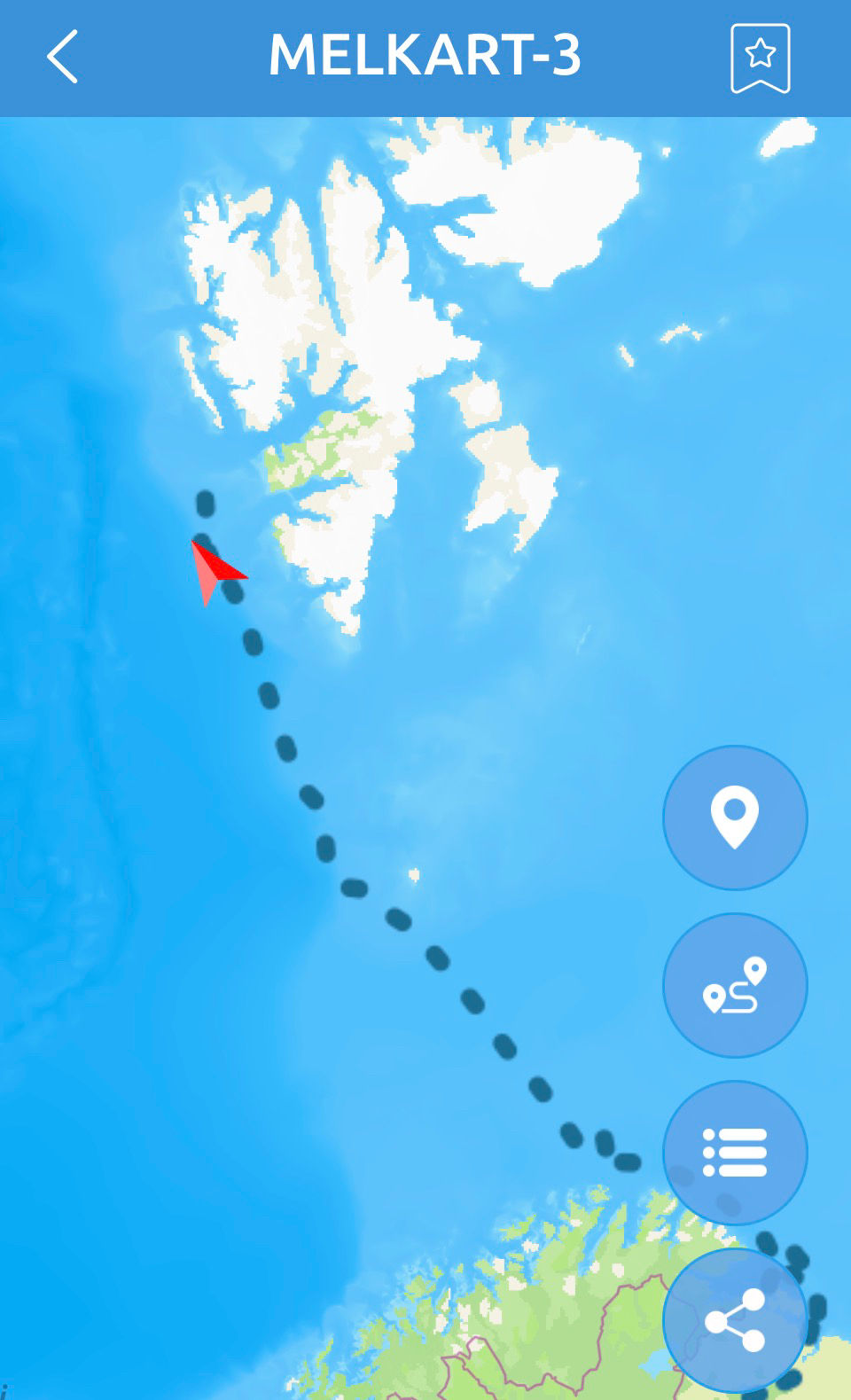
During the 20–22 February window, the Norwegian Coast Guard offshore patrol vessel KV Bergen (W341) maintained close monitoring of the Russian cluster.
Deployment of a high-capability offshore asset suggests Norwegian authorities assessed the activity as presenting a credible subsea security concern.

6. Overall Assessment
Coordinated convergence, speed profiles compatible with subsesea operations, prolonged presence over critical infrastructure, and suitable deck hardware collectively support a high-confidence assessment that:
The activity was unlikely to constitute routine commercial fishing
The operation likely involved intelligence preparation of the maritime environment (IPME) targeting subsea infrastructure
While direct evidence of cable interference has not been observed, the behavioral pattern is consistent with reconnaissance, mapping, or contingency preparation activities.
Strategic Implication
The sustained use of ostensibly civilian fishing vessels as dual-use maritime platforms represents a credible and growing risk to critical undersea infrastructure security in the North Atlantic.
Mitigation will likely require enhanced multinational maritime domain awareness (MDA), persistent ISR coverage, and coordinated infrastructure protection posture among NATO and partner states.


Comments